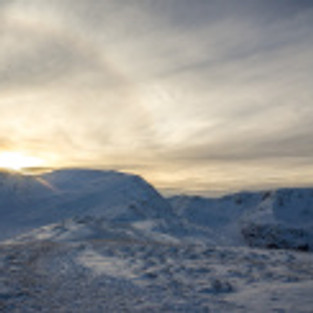
The High Street range from St Sunday Crag
Nowadays it isn’t often that you get so much snow in the Lake District. Add in clear blue sky and no wind and you have a perfect mountain day.
7.4 miles, 730 metres ascent, 6 hours.
I did a circuit from the Brotherswater car park along Deepdale and then up what could be called St. Sunday Crag’s east ridge. This goes steeply up until the minor top of Gavel Pike and then easily for a few hundred metres to St. Sunday Crag’s main summit.

Looking up the ridge towards Gavel Pike
I thought I was following in others’ footsteps but gradually realised that the others must have been sheep. Not to worry, a thing I enjoy about deep snow is that you can walk almost anywhere. Look at the terrain ahead, pick the best line. The snow had drifted significantly and I spent a lot of time up to my knees in soft powder.

Looking back down to Deepdale and High Street
Higher up and the ground got steeper and rockier and views kept opening up. I saw a group of three above me and found their tracks and followed. This probably didn’t give any physical benefit but it’s much easier psychologically to follow a path, you don’t have to make any decisions. Just follow the footsteps. I never caught up with the three and all day I only met four other people on the mountain.

Looking up to the steeper part of the east ridge

Post-holing up steep snow

Party of three breaking trail on the final steep and rocky section to Gavel Pike summit.
The summit views were fantastic. The air was exceptionally clear. You know when they say “on a clear day you can see X from here” ? This was that clear day. Helvellyn, Fairfield, and the High Street range are the immediate neighbours but Blencathra was easily seen and the northern pennines were particularly clear in the east.

View from the summit eastwards with the white line of the pennines on the horizon.
Going down was a hoot. The snow was thigh deep and as the summit drops away the ground is very steep for about 200 vertical metres. I did this in about five minutes, every step taking me downhill about six feet with almost no effort. Later on, while still high up, I went through untrodden patches that had me up to my hips in powder snow.
I’m sure I’ll see snow again this winter but days like this are generally a once-a-year experience.


Comments